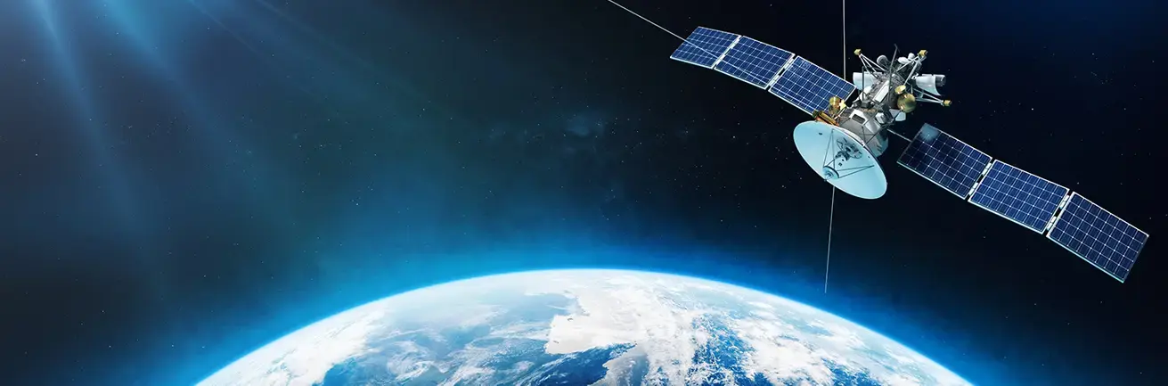
Making satellite images talk with DEMETER at the CSTJF in Pau
At the CSTJF in Pau, a team of TotalEnergies researchers is observing and analysing the Earth from space to provide innovative geospatial data. DEMETER, a web application, recovers satellite image data and makes them "functional" for Company activities. Coupled with artificial intelligence, they reveal crucial information for the implementation of sustainable energy solutions. DEMETER covers four topics: Renewable energies Greenhouse gases, Vegetation and Water.
For a few years now, satellite images have become more and more readily accessible, free of charge. All you need is a PC, a mouse and an ounce of patience to download photos from any site seen from space. However, these unprocessed images do not reveal their secrets easily. Hence the idea of creating a web platform and tools to help recover data from images and then sort, classify, analyze and correct them, to convert them into added value data for Company operations. Since May 2022, the first version of Demeter has been used in-house by around a hundred entities. A new version, DEMETER 2.0 was released at the end of 2023. What are its advantages? A more ergonomic user experience, easier browsing, etc. Employees can now import areas of interest and also generate files and export them into the software they use every day.

"The DEMETER project is run by a team of around fifteen researchers, most of whom are based at the CSTJF. Our ambition is to make it easier for everyone to observe the Earth, to promote low-carbon, sustainable energy using artificial intelligence".
Anthony Credoz,
DEMETER Project Lead
When images help decision-makers
Combining images and new digital technologies revolutionizes data interpretation. Storage and computing in the cloud make the process lightning fast, and the final image is displayed on-screen in a matter of seconds. Artificial intelligence and its powerful algorithms convert simple observation software into a decision-making tool.
Today, the DEMETER web application is valuable for the areas identified as strategic: reducing greenhouse gas emissions, developing solar and wind power, storing carbon in forests, evaluating water resources, etc. The menu comprises four main topics - Renewable energies Greenhouse gases, Vegetation and Water - and around twenty “products” that are just a mouse click away.
The range of uses is vast. DEMETER provides in-house end users with a new perspective on their activities. In the renewable energies sector, the images analyzed by the web application make it easier to prospect possible sites for the installation of PV panels and wind turbines, both onshore and offshore. As regards greenhouse gases, they are used to detect and quantify the large, global methane and carbon dioxide emissions from flaring on industrial sites. The business line can also monitor the status of water resources close to sites, or evaluate - from images of vegetation - the available biomass resources for the production of bioenergies, like the BioBéarn anaerobic digester, and the carbon storage capacity of forests.
To check the consistency of satellite data in the field, the team trains in the Béarn region, in the forest around Pau, and on the Platform for Experimental Research in Lacq (PERL).
